Cape Lookout National Seashore is an undeveloped barrier island in North Carolina that is a must visit for any outdoor enthusiast. Ashley and I visited Cape Lookout National Seashore on our most recent visit to North Carolina this past summer. Cape Lookout National Seashore is a low, narrow barrier island that runs for 56 miles from Ocracoke Inlet on the northeast, to Beafuort Inlet to the southwest. There is plenty for the whole family to do when visiting Cape Lookout National Sea Shore, from hiking, swimming, exploring the Cape Lookout Lighthouse, seeing wild horses, and so much more.
Directions to Trailhead: Ashley and I got to Cape Lookout National Seashore by using the Harkers Island Visitor Center, which is located on the eastern end of Harkers Island, approximately 20 miles (30 km) east of Beaufort, NC and 30 miles (50 km) south of the Cedar Island terminus of the North Carolina State Ferry route from Ocracoke Island to Cedar Island. This visitor center is one of two Ferry Gateways to the Cape Lookout Light Station and Shackleford Banks. There are several other Ferry options to get to the Island, but this is the shortest Ferry ride to get to
Cape Lookout Lighthouse. There is no fee for parking at the visitor center, but there is a cost to ride the Ferry to visit the Cape Lookout National Seashore. Cost range from $15-$20 per person to ride the Ferry and the ferry ride is approximately 15 minutes. For more information on taking a Ferry to the Cape Lookout National Seashore, click
Here.

The Cape Lookout Lighthouse is only open is open for climbing from the second week in May to the third weekend in September. Self-guided tours of up to 10 people will begin every 15 minutes during the hours of operation. The current costs for admission when we went was $8 per person, there are discounted prices for children and seniors. The lighthouse may close at any time if conditions (i.e.: temperature/humidity, lightning, or high winds) are determined to be unsafe. The climb to the top is strenuous. It may be hot, humid, noisy and dim inside the lighthouse. Climbing the 207 steps to the gallery is roughly equal to climbing a 12-story building. The stairs are narrow and groups going up will share the stairs with groups returning to the bottom. Make sure to get your tickets to climb the lighthouse early because on busy days the number of tickets can sell out. There is a set number of people able to climb the lighthouse each day and the quota exists because the lighthouse is a very old structure and can only safely accommodate so many people safely. For more information about seasonal hours of operation, click
Here.
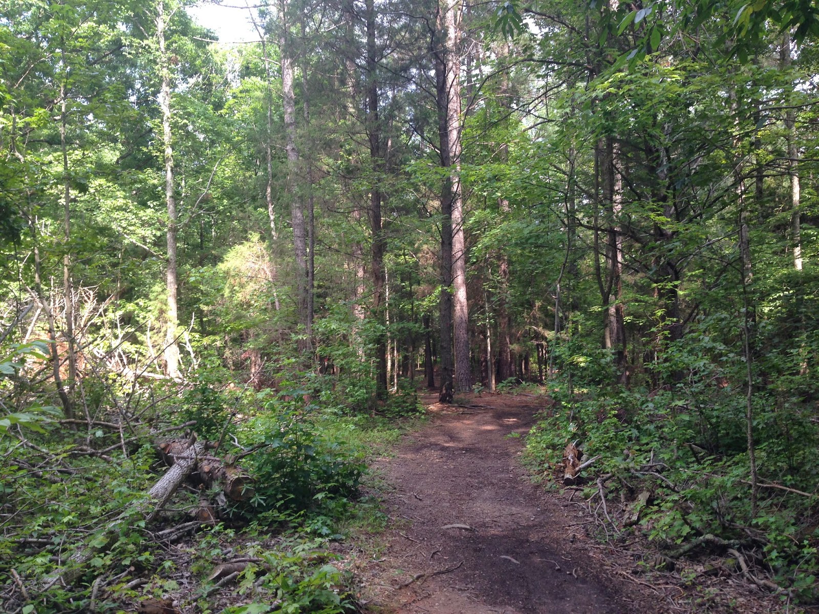
Description of Trail: This is a little different of a write-up than our normal posts as there is not set trail to explore, per se. When you begin your ferry ride from Harkers Island to Cape Lookout National Seashore, you will travel along side Shackleford Banks, which is another uninhabited barrier island. If you are lucky, you will be able to catch a glimpse of the wild horses that inhabit this island. Ashley and I saw several horses while on the ferry ride to Cape Lookout. Our ferry driver was nice enough to come to a full stop to allow visitors the opportunity to take pictures. These horses are descendants of Spanish horses that washed ashore after shipwrecks approximately 400 years ago. There are an estimated 110 wild horses living on Shackleford Banks.

During the ferry ride over, you will have Cape Lookout Lighthouse firmly in view. The ferry docks right near Cape Lookout Lighthouse and you exit the ferry right by Cape Lookout Lighthouse. You then hike along a wooden boardwalk to the visitor center, which has a small gift shop, restrooms, and is the gateway to Cape Lookout Lighthouse and Cape Lookout National Seashore. You buy your tickets to climb the lighthouse at this visitor center. At this point you are a short walk to the Cape Lookout Lighthouse and less than a 0.4 mile hike to the Atlantic Coast. There are wooden boardwalks around the visitor center and the Cape Lookout Lighthouse, but outside of that you are walking on flat sandy trails.
 Further Thoughts
: A variety of activities awaits you at Cape Lookout National Seashore. From birding, to camping, to fishing, to learning about the rich history of Cape Lookout Light Station, there is something here for everyone. The main thing is you will need to pack everything you need for your visit to the Cape Lookout National Seashore, because this is an undeveloped barrier island. Ashley and I brought a full day pack with everything from lunch, sunscreen, water, and appropriate clothes. When we first got to the Cape Lookout National Seashore, we immediately purchased our tickets to climb the Cape Lookout Lighthouse. Our scheduled time was not for several hours, so we hiked over to the beach and explored the area.

We did a little shelling and then went swimming in the warm Atlantic waters, which during the summer time get over 80 degrees. One of the neat things about being at Cape Lookout National Seashore is there is no development on the island. It is a completely different experience being on an island that has no housing right along the ocean. You look down as far as the eye can see along the coast and there is not a single home on the coastline. It is truly a magnificent sight to see!

After enjoying the surf and the sand, Ashley and I headed back over to do our tour of the Cape Lookout Lighthouse. The current Cape Lookout Lighthouse was completed and lit on November 1, 1859 and replaced a shorter lighthouse built in 1812. The double wall structure--the first of its kind in North Carolina--allowed the tower to be much taller than previous designs. The 1859 lighthouse was 163 feet tall and its light reached approximately 15 miles out to sea. Shortly after the improved tower was activated, however, war broke out between the states. The light was extinguished to prevent Union ships from using it to navigate the treacherous North Carolina coast. The light was reestablished with a third order Fresnel lens in 1863 and shone for most of the remainder of the war. For more, on the history of the Cape Lookout Lighthouse, click
Here.

If you have more than one day to spend at the Cape Lookout National Sea Shore, there is primitive camping available on the island. Campers should prepare carefully for the natural conditions to be found at the park. We saw two groups of people that were going to be camping right on the beach.

The waters surrounding the park are feeding grounds for marine mammals and sea turtles. Four sea turtle species - Loggerhead, Green, Kemp's Ridley, and Leatherback - are sometimes seen feeding in area waters. Only the Loggerhead sea turtle regularly nests on the park's beaches during the summer months. The others are found only as juveniles or are just passing through.
Birds are the most easily observed animals in the park. Spring and Fall migration brings a number of different species through the park. Stormy weather can drive a few pelagic birds in from the open ocean for a visit. In summer, a number of tern species, egrets, black skimmers, herons, piping plovers and other shorebirds nest within the park's boundaries.

Mammals are uncommon on the islands; rice rats, rabbits, river otters, and raccoons are some of the native species found here. On Shackleford Banks is a population of horses that has gone wild and adapted to their environment over the past few hundred years. Although salt and brackish water environments dominate the islands, a few fresh water habitats support tree frogs and Fowler's toads. While diamond-back terrapins prefer the salt marsh areas, the grasslands are the preferred habitat for five-lined racerunner lizards and black racer snakes. For more on the ecosystem of this area, click
Here.
Ashley and I spent a little more than a half day on the island doing hikes along the beach, exploring the Cape Lookout Lighthouse, and swimming in the ocean. When you visit this area make sure to check the weather forecast before you go and be prepared for the anticipated weather conditions.
Rating: Little elevation gain throughout the whole Cape Lookout National Seashore. Can make your day as relaxing or as strenuous as you would like.
Time to Complete Hike: Ideally, Ashley and I would recommend spending at least a half a day exploring the area, if not a full day. We spent a half day and would have enjoyed having more time to spend on the island.


 Description of Hike: The tour of the Battleship North Carolina traverses much of the entire ship. It travels up and down through the use of multiple sets of stairs and provides a great overview of the entire battleship. Obviously, this hike is a little different than the others on our hiking blog because this is a historical hike. The tour of the Battleship North Carolina is self-guided. It is well-marked and easy to follow which allows you to complete the tour at your own pace. Ashley and I would recommend allowing at least two hours for the tour, but for the true enthusiast, you can spend much more than that enjoying the battleship. The tour starts immediately at the visitor center right after you purchase your ticket. The visitor center houses a general historical overview of the Battleship North Carolina as well as a history of the navy. You get a chance to view an introductory movie in the auditorium in the visitor center, before heading up the gangway to board the Battleship North Carolina. Once on on the Battleship North Carolina, you begin your tour on the fantail section of the battleship, where the kingfisher sea plane is located. In all you follow the arrows around the battleship through 9 levels of the ship on your tour. Some of the highlights of the battleship are the 16 inch gun turret, the mess deck, the engine room, the 16 inch powder magazines and projectile storage area, the bridge and the sick bay. There are numerous exhibits on the battleship with many information placards. You can really learn a lot of history on your visit to the Battleship North Carolina.
 Here are some statistics on the Battleship North Carolina: Standard displacement, 1942: 36,600; Full displacement, 1942: 44,800; Length: 729 feet; Beam: 108 feet; Speed: 28 knots; Horsepower, ahead: 121,000; Complement: 144 officers; 2,115 enlisted; 85 marines; Main battery: nine 16-inch/45 cal, Secondary: twenty 5-inch/38 cal; Antiaircraft: fifteen quad 40mm guns; 20mm single and twin mounts varied from 36 to 53 guns; Built: New York Navy Yard, Brooklyn, New York; Keel laid: October 27, 1937; Commissioned: April 9, 1941; Decommissioned: June 27, 1947; and Dedicated as a Memorial: April 29, 1962. The ship's main armor belt has 12 inches of armor included at 15 degrees tapering to 6.6 inches. It is mounted onto .75 inches of special treatment steel.
 After inactivation, the Battleship North Carolina was decommissioned in New York on June 27, 1947. Stricken from the Naval Vessel Register on 1 June 1960, she was transferred to the state of North Carolina on September 6, 1961. She was purchased from the U.S. Navy for $330,000 raised by the efforts of North Carolina school children, who saved their spare change and lunch money for the "Save Our Ship" campaign. In 1961, a fleet of tugboats maneuvered the 728 ft (222 m) ship through a stretch of the Cape Fear River 500 ft (150 m) wide. During this the ship struck the restaurant "Fergus' Ark", a former U.S. Army troopship docked near Princess Street. It was damaged severely and ceased operation. On April 29, 1962, she was dedicated at Wilmington as a memorial to North Carolinians of all services killed in World War II. Th Battleship North Carolina was declared a National Historic Landmark in 1986. The memorial is administered by the North Carolina Battleship Commission, established by state statute in 1960. The memorial operates tax free, relying upon its own revenues and donations.